Beschreibung
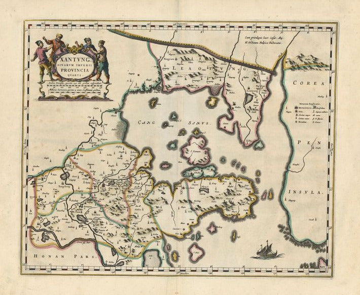
Xantung, Imperii Sinarum Provincia Quarta
Joan Blaeu
Diese wundervoll kolorierte Karte zeigt die chinesische Provinz Shantung. Das Blatt stammt aus Joan Blaeus „Atlas Sinensis“, dem ersten westlichen Atlas, der sich ausschließlich mit China befasste und auf dem Material des Jesuiten Martino Martini basierte. Martinus war durch Asien gereits und seine Beobachtungen bildeten die Grundlage für viele europäische Karten von China und Japan.
Joan Blaeu (1599–1673) arbeitete mit seinem Vater Willem Janszoon und seinem Bruder Cornelis in Amsterdam zusammen. Im Jahr 1638 wurde er zum Kartographen der Ostindien-Kompanie ernannt.
handkolorierter Kupferstich
Bildmaß: 38 x 39,5 cm (Höhe x Breite)

