Beschreibung
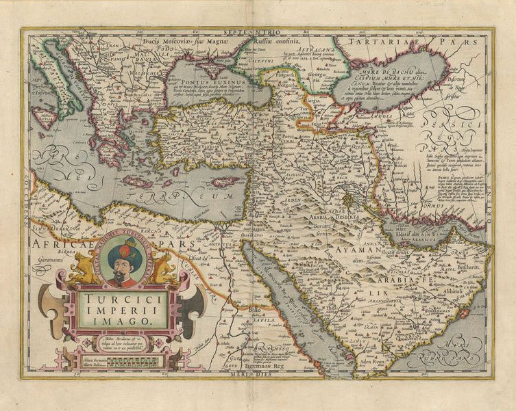
Turcici Imperii Imago
Gerard Mercator
Die Kartusche unten links zeigt das Portrait von "Sultan Mahumet Turcorum Imperat." Es handelt sich um eine sehr detaillierte Darstellung des Türkischen Imperiums. Grenzen sind farbig gestaltet.
handkolorierter Kupferstich
Bildmaß: 36 x 48,6 cm (Höhe x Breite)
An attractive map of the Turkish empire in Arabia shown in detail.The bottom right cartouche shows the portrait of Sultan Mahumet (1432-1481) who conquered Constantinople, renamed Istanbul. It is a very detailed account of the Turkish Empire with colored borders. A mileage scale is on the bottom right. Latin text fills The Black Sea and The Caspian Sea. Gerard Mercator was a legendary figure in cartographey, who introduced the 'Mercator projection', for navigation. He produced globes, maps and began work on 5 volume atlas, which was completed by his son.
Handcoloured copperplate engraving
Size: 36 x 48,6 cm