

Beschreibung
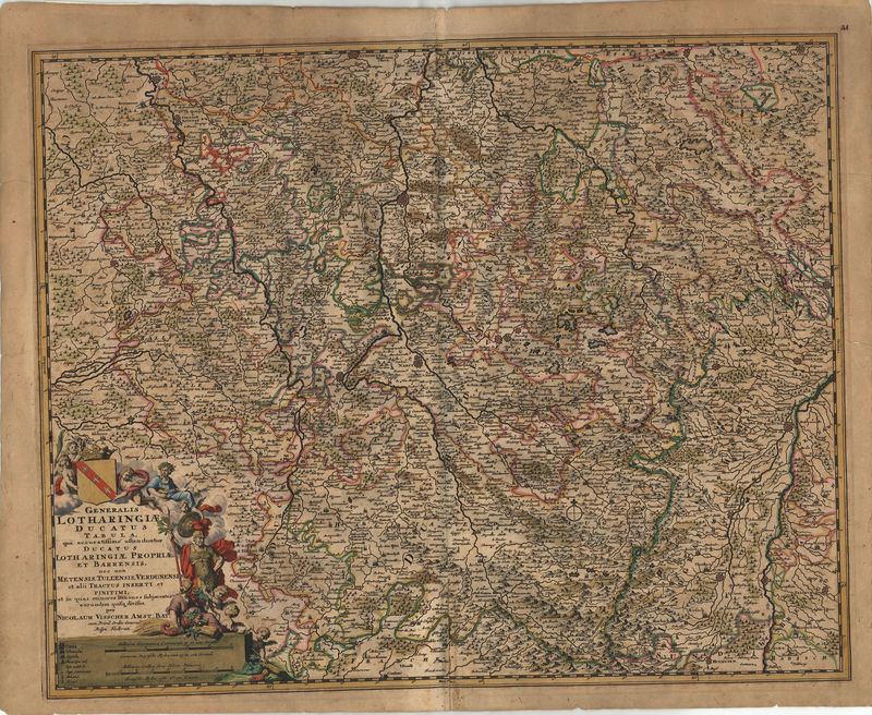
Generalis Lotharingiae Ducatus Tabula
Nicolaes Visscher
Diese wunderbar detailliert gestochene Karte der Gebiets rund um die Mosel geht zurück auf den berühmten Amsterdamer Verleger Nicolaes Visscher (1618–1679). Ursprünglich war das Blatt Teil des Kartenwerks „Germania Inferior“ (ab 1677).
Das Kartenbild reicht von Luxemburg im Norden bis nach Mühlhausen im Süden. Bestimmend für die Komposition ist die Mosel, die das Bild fast in der Mitte teilt. Faszinierend sind die zahlreichen Detail: Es sind ungemein viele Ortschaften verzeichnet, Waldungen und auch sanft geschwungene Hügelketten.
Die Bezeichnung der Region als „Lotharingien“ geht zurück ins frühe Mittelalter, in dem das einstige Fränkische Reich Kars des Großen unter seinen Enkeln aufgeteilt wurde (843). Das „Reich Lothars“ reichte in einem relativ schmalen Korridor von Friesland bis nach Korsika und Rom.
grenzkolorierter Kupferstich
Bildmaß: 46,2 x 56,6 cm (Höhe x Breite)