Beschreibung
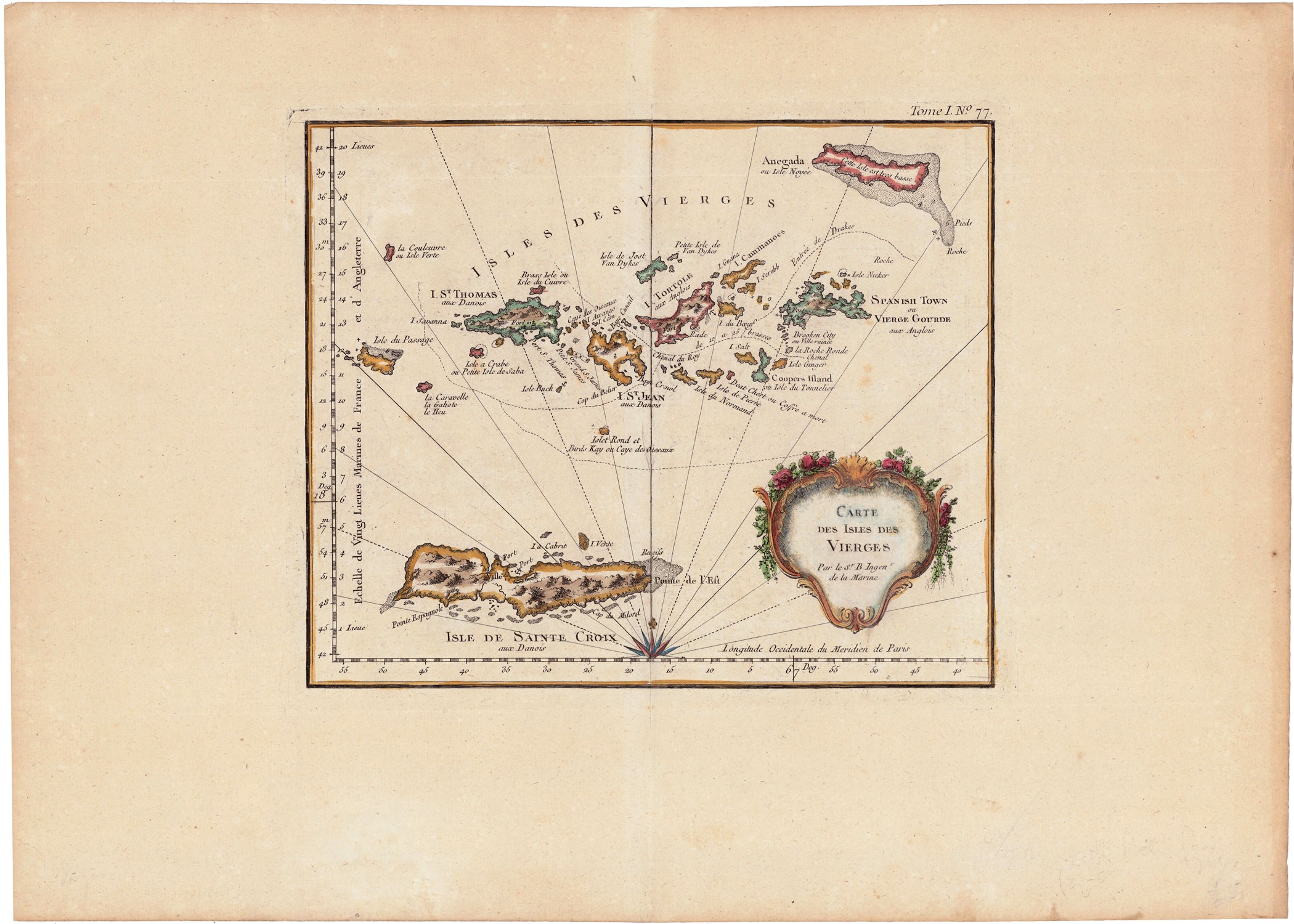
Carte des Isles des Vierges
Jacques Nicolas Bellin
handkolorierter Kupferstich
Bildmaß: 20,4 x 24,7 cm (Höhe x Breite)
An uncommon chart focusing on the Virgin Islands with particularly good detail for a small map, including St. Croix, St. Thomas, St. John, Tortola, Virgin Gorda and Anegada Islands, and others. The handsome chart is embellished with a compass rose, rhumb lines and a title cartouche framed of rocaille. Noting topographical and coastal features, forts, mountains etc and has a decorative title cartouche included in the lower right quadrant of the map. It was published in 1764 by Jacques-Nicolas Bellin for inclusion in his Le Petit Atlas Maritime.

