Beschreibung
Benchmark Maps
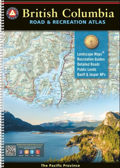
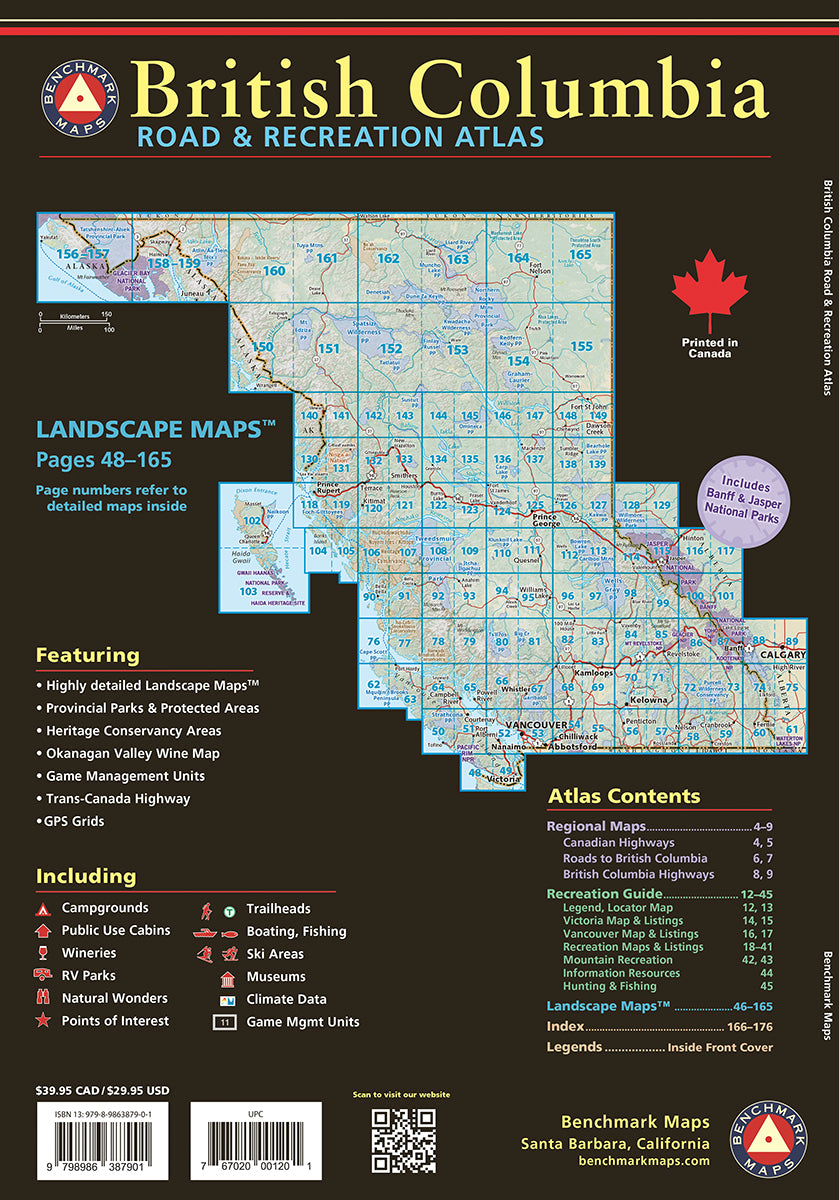
Detaillierter Atlas von British Columbia in englischer Sprache mit topographischen Karten, detailliertem Straßennetz
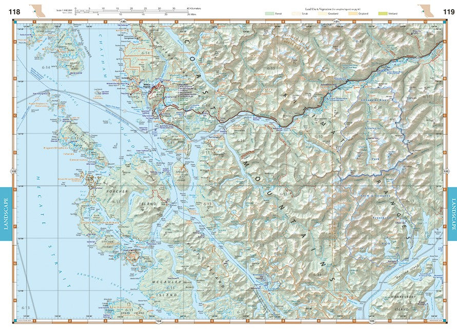
- Landscape Maps 1:300,000 (1″= 4.7 miles or 1cm = 3 km)
- Recreation Maps 1:1,100,000 (1″=17.3 miles or 1cm = 11km)
176 Pages
1st Edition 2024
39 x 27 cm
Landscape Maps™
- Detailed shaded relief, tinted to illustrate land use & vegetation
- Public land boundaries
- First Nation lands and place names
- Detailed roads and recreation points of interest
- Includes Banff & Jasper National Parks and the Icefields Parkway in Alberta
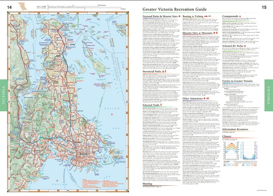
Recreation Guide
- Regional maps with public lands, points of interest, point-to-point distances, hunting units, and more
- Categorized listings include National & Provincial Parks, Trails, Campgrounds & RV Parks, Fishing & Boating, Museums & Historic Sites, and more
- Dedicated pages for Mountain Recreation (Skiing, Mountain Biking, Climbing) and the Okanagan Valley Wine Region
- including Vancouver Island and Haida Gwaii
