

Beschreibung
Rand McNally / Straßenkarte / Stadtplan
Serie: Folded Map
Zentral & Ost Florida / USA / Nordamerika
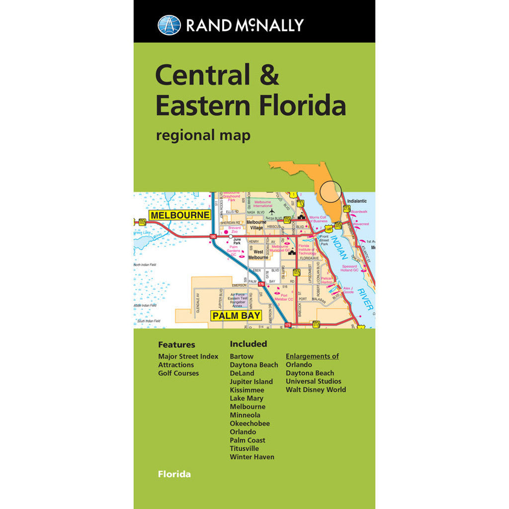
Rand McNally's folded map for Central & Eastern Florida is a must-have for anyone traveling in and around this area, offering unbeatable accuracy and reliability at a great price. Our trusted cartography shows all Interstate, U.S., state, and county highways, along with clearly indicated parks, points of interest, airports, county boundaries, and streets. The easy-to-use legend and detailed index make for quick and easy location of destinations. You'll see why Rand McNally folded maps have been the trusted standard for years.
- Regularly updated
- Full-color maps
- Clearly labeled Interstate, U.S., state, and county highways
- Indications of parks, points of interest, airports, county boundaries, downtown & vicinity maps
- Attractions & golf cources
- Enlagements of Orlando, Daytona Beach, Universal Studios, & Walt Disney World
- Easy-to-use legend
- Detailed & full street index
- Convenient folded size
- Copyright 2022
Coverage Area
Communities Included: Bartow, Daytona Beach, DeLand, Jupiter Beach, Kissimmee, Lake Mary, Melbourne, Minneola, Okeechobee, Orlando, Palm Coast, Titusville, Winter Haven