

Beschreibung
Rand McNally / Straßenkarte / Stadtplan
Serie: Folded Map
Texas / USA / Nordamerika
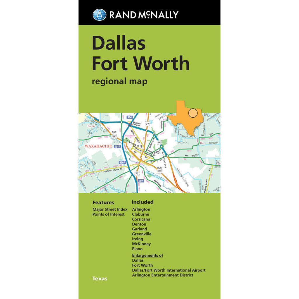
Rand McNally's folded map for Dallas Fort Worth is a must-have for anyone traveling in and around this part of Texas, offering unbeatable accuracy and reliability at a great price. Our trusted cartography shows all Interstate, U.S., state, and county highways, along with clearly indicated parks, points of interest, airports, county boundaries, and streets. The easy-to-use legend and detailed index make for quick and easy location of destinations. You'll see why Rand McNally folded maps have been the trusted standard for years.
- Regularly updated
- Full-color maps
- Clearly labeled Interstate, U.S., state, and county highways
- Indications of parks, points of interest, airports, county boundaries, downtown & vicinity maps
- Major attractions & Golf Courses
- Enlargements of Dallas, Forth Worth, Dallas/Fort Worth International Airport, Arlington Entertainment District.
- Easy-to-use legend
- Detailed index & Major Street Index
- Convenient folded size
- Copyright 2023
Coverage Area
Communities Included: Arlington, Cleburne, Corsicana, Denton, Garland, Greenville, Irving, McKinney, Plano.