
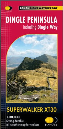


Beschreibung
Hersteller: Harvey Supermaps
Including Dingle Way
Sprache: englisch
Ratio: 3.33cm = 1km
Flat size: 1392 x 486mm
Folded size: 116 x 243mm
Double sided
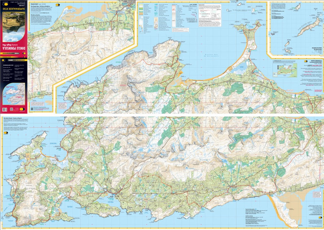
The whole of the Dingle Peninsula on one lightweight, waterproof map at the popular 1:30,000 scale.
Includes Mount Brandon and the entire Brandon Group of mountains in the west of the Peninsula.
To the east, the Slieve Mish mountains are also shown.
The map also shows the Dingle Way - a 179km long distance walking route around the edge of the Peninsula that starts and finishes in Tralee. The route is highlighted in red.
The Blasket Islands are also shown at 1:50,000 scale. Popular for day trips, these uninhabited islands are the most westerly point of Europe.
Placenames in English and Gaeilge / Gaelic.
Archaeological sites and walls and fences in farmland are clearly marked.
Click here to view map coverage
Tough, light, durable and 100% waterproof
Genuine, original, HARVEY mapping
Opens directly to either side of the sheet
Easy to re-fold