

Beschreibung
Helsinki & Finland South
(Finnland Süd)
ITM Map 1
Karte, 1:10.000 / 800.000
Maße: (LxBxH): 24,7x9,6x,8 cm
Gewicht: 108 g
Verlag/Hersteller: International Travel Maps
Auflage: 3. Auflage
Erscheinungsdatum: 14.05.2025
Sprache(n): Englisch
Stadtplan von Helsinki mit Straßenverzeichnis. Die Rückseite enthält eine große Landkarte von Südfinnland ; bis etwa Kokkola.
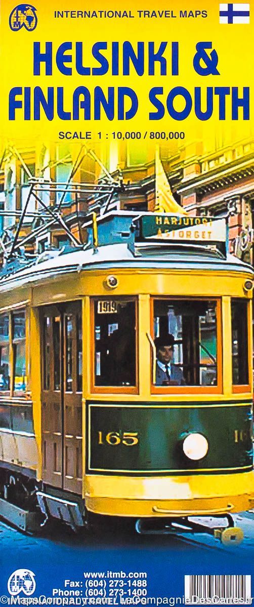
Co-incidentally, ITMB’s map of Helsinki arrived at the same time as the map of Finland. There wasn’t room in the country map to include the capital city, so a separate map is required. Helsinki is very focused on the water, being located on a peninsula at the southern tip of Finland.
The heart of the city is located just south of the Railway station and is full of interesting buildings. This is a city that is easy to get around, thanks to its excellent network of trams, all of which are clearly shown on our map. Naturally, ferry terminals are also shown, although the ones to Saint Petersburg are closed for now.
Side 2 covers southern Finland, which is the most visited part of the country, showing ferry routes to Estonia and Sweden, as well as to the very scenic Aland Islands.