

Beschreibung
Straßenkarte Manitoba & Saskatchenwan ISBN: 9781553685197 Maßstab: 1:2.000.000 Verlag: MapArt
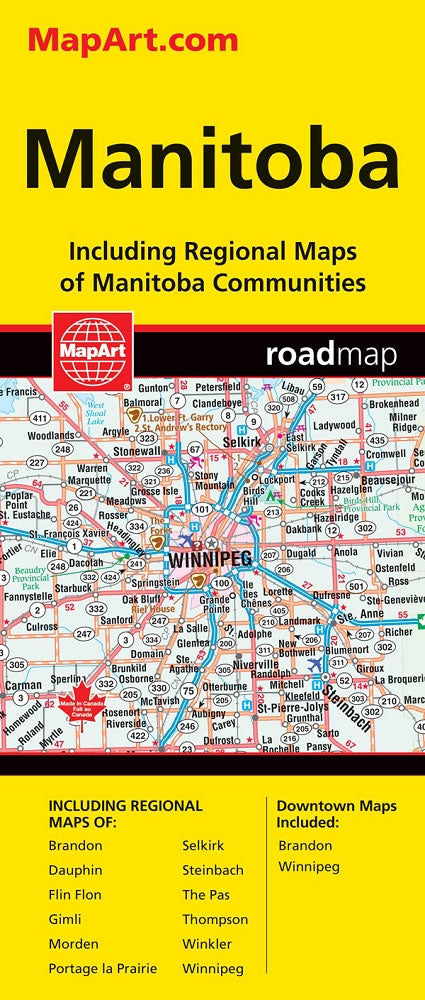
Manitoba and Saskatchewan on an indexed road map at 1:1,850,000 with on the reverse 21 panels with street maps of the two provinces’ main towns, including large street plans at 1:25,000 of downtown Regina, Saskatoon and Winnipeg.
The two provinces are presented together at 1:1,850,000 on one side of the map. Road network indicates paved, gravel, unimproved and seasonal roads, with distance marked on main and selected local routes. Railway lines are included and locations with scheduled air services are marked. Symbols indicate campsites, tourist information offices, etc. National and provincial parks are highlighted; numerous small rives and lakes are named. The map has no geographical coordinates. The index is next to the map.
On the reverse the downtown districts of Regina, Saskatoon and Winnipeg are shown on detailed street plans at 1:25,000, with each city also shown on a road map at 100K or 200K. Street maps at 1:100,000 or 1:50,000 also cover: Brandon, Dauphin, Flin Flon, Lloydminster, Moose Jaw, Morden, North Battleford - Battleford, Portage la Prairie, Prince Albert, Selkirk, Steinbach, Swift Current, The Pass, Thompson and Yorkton.