


Beschreibung
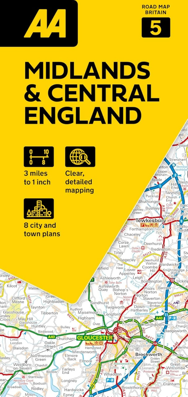
Midlands & Central England
Straßenkarte Großbritannien 1:200.000
AA - Automobile Association
ISBN: 9780749584689
Auflage 2026
Sprache Englisch
Straßenkarte mit Ortsverzeichnis, Geschwindigkeitsbeschränkungen und Radarfallen.
Innenstadtpläne:
Birmingham, Cheltenham, Coventry, Derby, Leicester, Milton Keynes, Nottingham und Wolverhampton
AA Road Map Midlands & Central England is a practical and slimline, foldable map from the experts at the AA. Encased in a durable, weatherproof cover, the mapping is produced at a scale of 3 miles to 1 inch (1:200,000 / 2km to 1cm) combining clear design, an easy-to-read scale and more road detail to ensure that you never lose your way.
Also included are toll points, service areas, road numbers, motorways, dual carriageways and wide narrow local roads, National Parks and other places of interest.
•Fully updated speed camera locations, plus speed cameras with speed limits shown
•Clear place name index
•8 city and town plans
•Caravan & camping sites are pinpointed on the mapping
•National Parks and places of interest are also highlighted
•National Trust, English Heritage, Scottish and Welsh Heritage sites shown
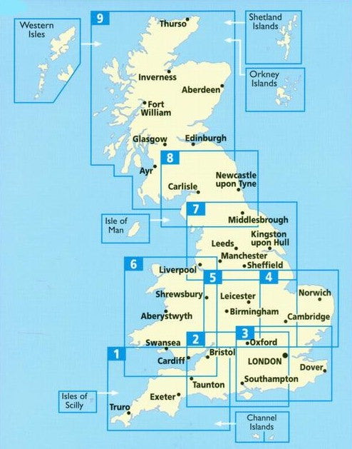
Road Map Midlands & Central England is one in a series of expertly produced road maps of Britain from the AA.