Beschreibung
Rand McNally
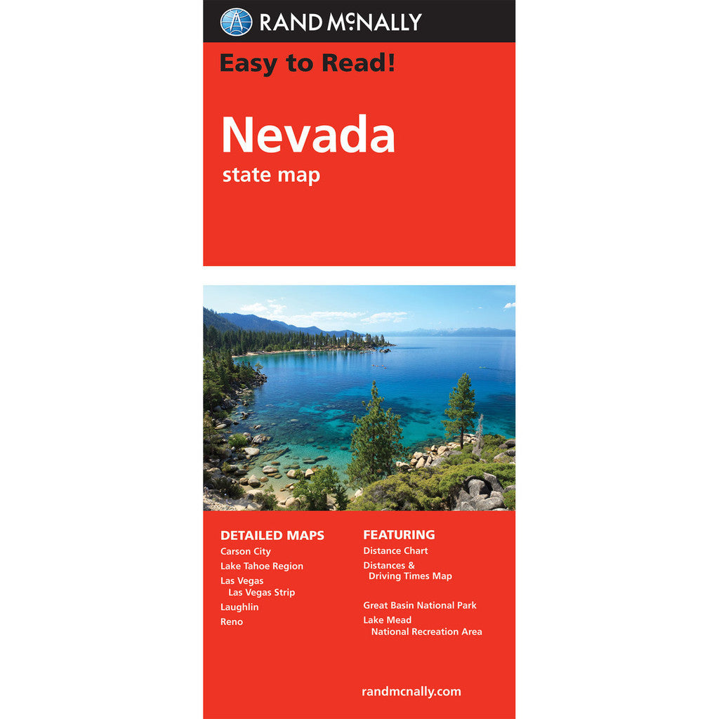
Straßenkarte / Staatenkarte
Serie: Easy to Read
Nevada / USA / Nordamerika
- Regularly updated, full-color maps
- Clearly labeled Interstate, U.S., state, and county highways
- Detail maps of major cities, a mileage chart, and a Mileages & Driving Times Map
- Indications of parks, points of interest, airports, county boundaries, and more
- Easy-to-use legend
- Detailed index
- Convenient folded size
- Copyright 2024
Coverage Area
Detailed maps include: Carson City, Lake Mead National Recreation Area, Lake Tahoe Region, Las Vegas, Las Vegas Strip, Laughlin, Reno

