


Beschreibung
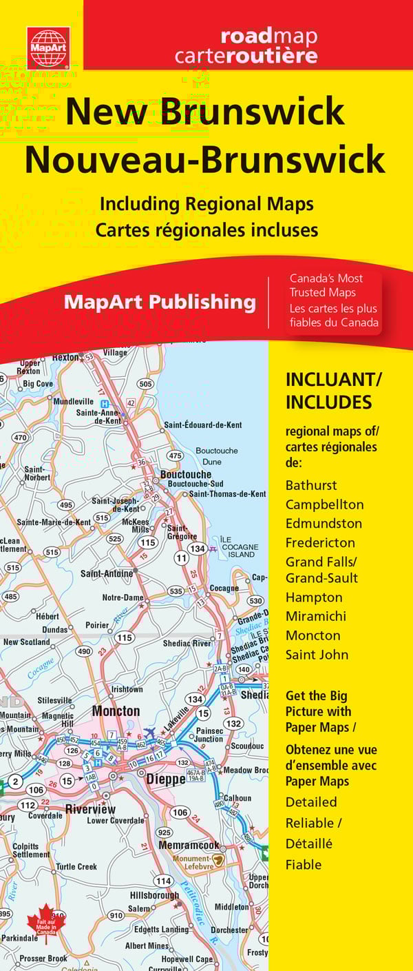
Straßenkarte New Brunswick / Nouveau-Brunswick
Auflage: 2024
ISBN: 9781554862689
Maßstab: 1:600.000
Verlag: MapArt
Nordamerika / Kanada / New Brunswick
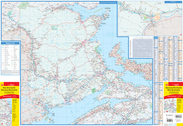
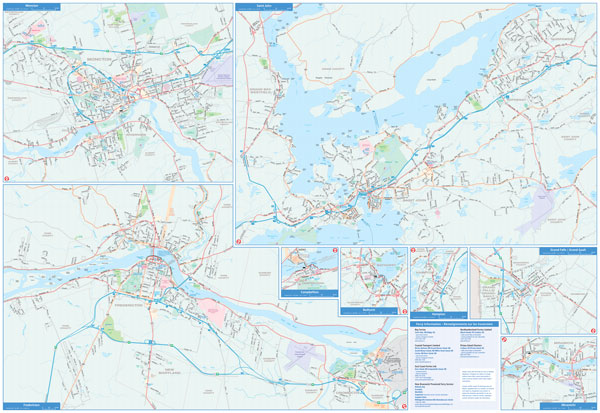
Indexed road map of New Brunswick at 1:600,000 with coverage of much of Nova Scotia and Price Edward Island, with more detailed maps of Saint John, Edmundston, Fredericton, Moncton, Campbellton, Bathurst, Hampton Grand Galls / Grand-Sault, and Miramichi, plus ferry information and a distance chart.
The whole province is shown on one side at 1:600,000, with coverage of Nova Scotia extending east to New Glasgow and south to Halifax, plus the western half of Prince Edward Island. Topography is indicated by colouring for national/provincial parks and other protected areas, with numerous small rivers named on the map. Road network indicates paved, loose surface or unimproved roads, and shows driving distances on main routes. Locations with scheduled air service and ferry connections are marked. Symbols show campsites, visitor information centre, ski areas and various places of interest. No geographical coordinates are provided; the index is next to the map.
The environs of main towns are presented in greater detail on panels at scales from 1:50,000 to 1:100,000. The map also includes a list of ferry operators with contact details, plus a distance table.
The New Brunswick Provincial folded map includes a provincial map of New Brunswick at 1:600,000 along with a place name index and legend. Also featured are municipal maps of Bathurst (1:100,000), Campbellton (1:100,000), Edmundston (1:50,000), Fredericton (1:46,300), Grand Falls / Grand-Sault (1:50,000), Hampton (1:50,000), Miramichi (1:100,000), Moncton (1:50,000) and Saint John (1:50,000), a distance chart and ferry information.