

Beschreibung
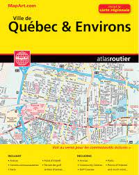
Straßenatlas Ville de Quebec & Environs
Stadtplan Quebec City und Umgebung
ISBN: 9781553685265
Maßstab: 1:25,000/31,500
Straßenatlas- Spiralbindung
Verlag: MapArt
Street atlas of Quebec City and environs, including Beauport, Beaupre, Bernieres, Boischatel, Bourg-Royal, Breakeyville, Cap-Route, Cap-Sante, Charlesbourg, Charny, Chateau-Richer, Donnacona and other locations. The atlas is part of an extensive coverage of Canadian cities and towns from the country’s largest map publisher, MapArt.
The mapping is usually at 1:25,000 or 1:31,250. Colouring distinguishes general build-up areas, shopping centres, public buildings and institutions, historical sites and places of interest, parks, etc. One way streets and pedestrian zones are indicated and a wide range of symbols shows parking facilities, bus terminals, metro and/or railway stations, various public facilities and services, places of interest, recreational centres, etc. Local neighbourhoods are named and municipal and quadrant boundaries are marked.
In titles covering more than one city or town, each section is accompanied by overview maps indicating areas covered by the street plans. Each title has a full street index for all localities covered by it. Map legend is either bilingual in English and French or in English only.