Beschreibung
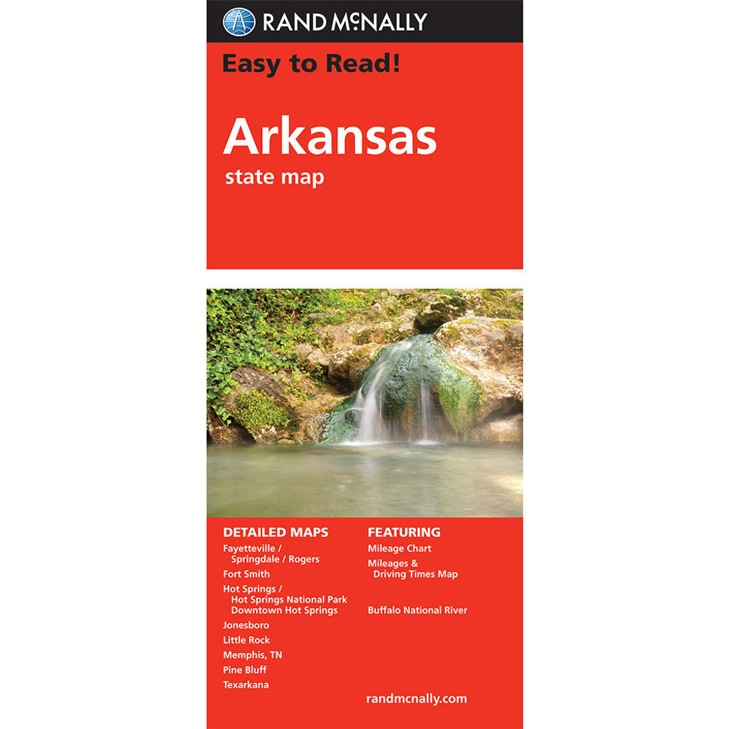
Rand McNally Straßenkarte / Staatenkarte Serie: Easy to Read USA / Nordamerika
The easy-to-use legend and detailed index make for quick and easy location of destinations. You'll see why Rand McNally folded maps have been the trusted standard for years.
- Regularly updated, full-color maps
- 31% larger map with a bigger type size than the Rand McNally Folded Map
- Clearly labeled Interstate, U.S., state, and county highways
- Indications of parks, points of interest, airports, county boundaries, and more
- Mileage and driving times map
- Detailed index
- Convenient folded size
- Copyright 2024
Coverage Area
Detailed maps of: Buffalo National River, Fayetteville/Springdale/Rogers, Fort Smith, Hot Springs/Hot Springs National Park, Downtown Hot Springs, Jonesboro, Little Rock, Memphis, TN; Pine Bluff, Texarkana

