



Beschreibung
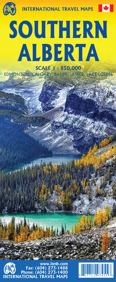
Southern Alberta Landkarte ITMB International Travel Maps
1 : 850 000
Verlag/Hersteller: International Travel Maps
Sprache(n): Englisch
Erschienen 2026
Landkarte / Straßenkarte vom südlichen Alberta
Road map Alberta
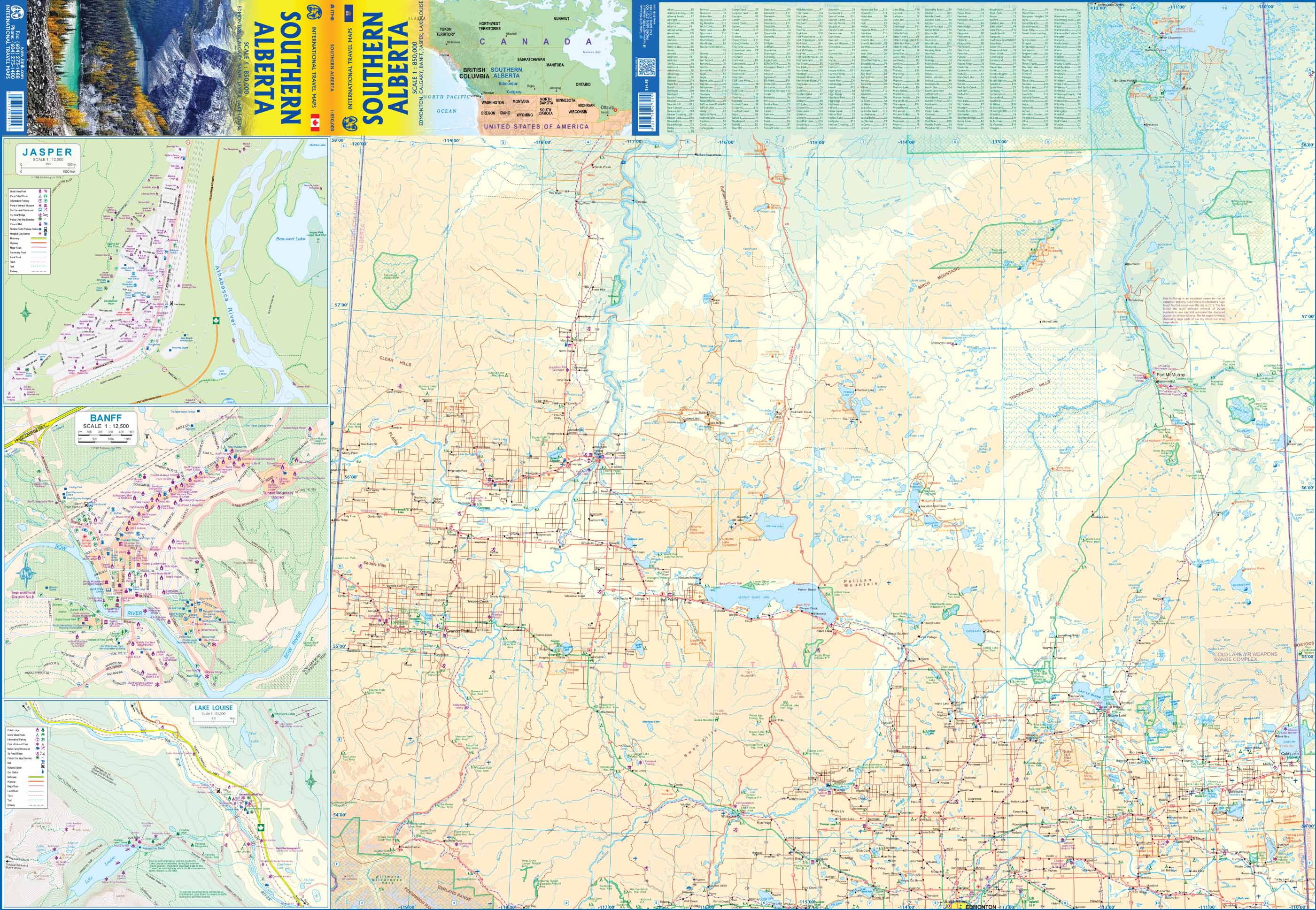
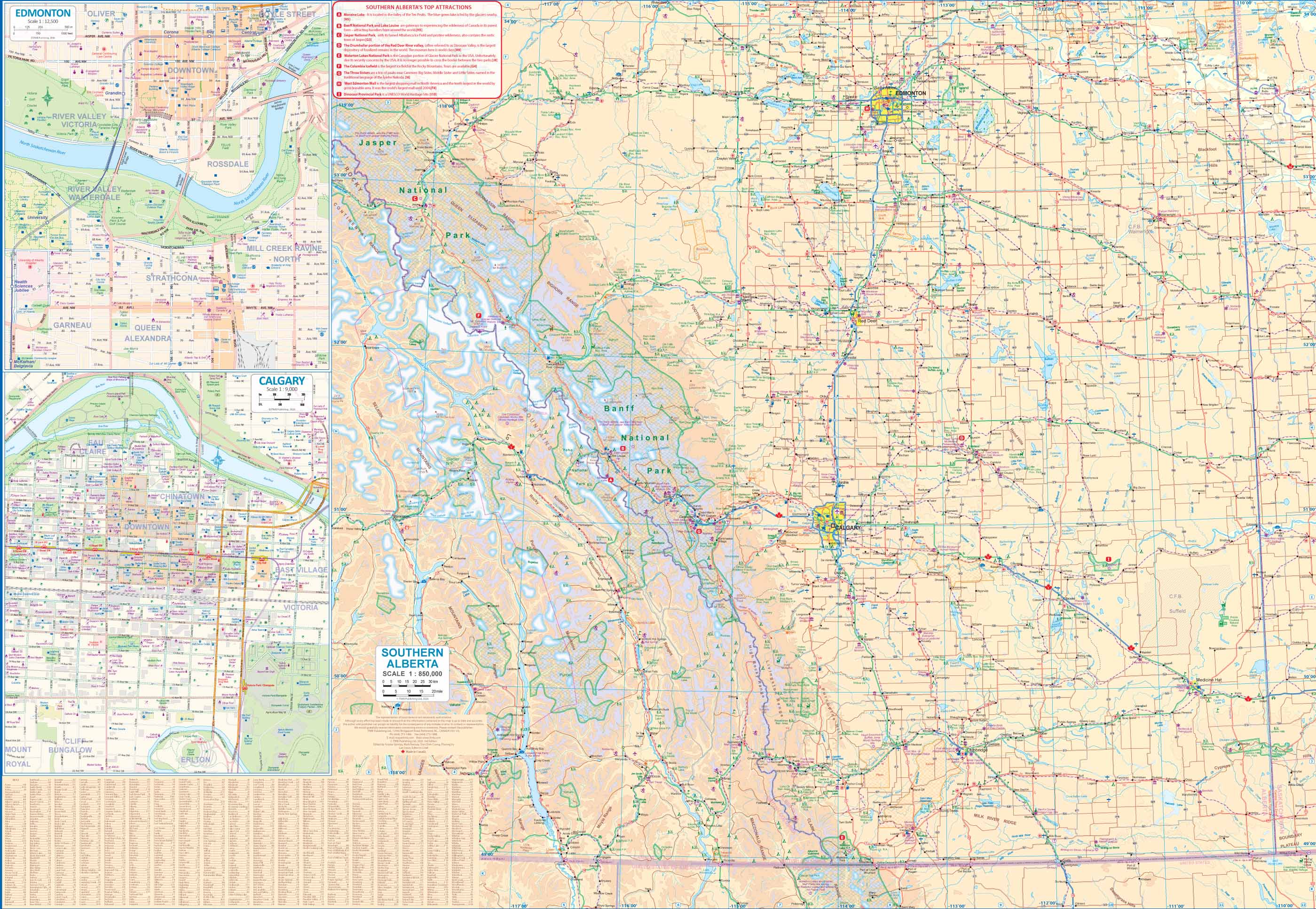
Alberta, like all the western provinces of Canada, divides naturally into two parts – a fairly densely populated south half and a much less developed north half. This is due to that ever-present Canadian reality, the tundra, which is boggy, mosquito riven, and not as attractive to tourists as the agriculturally interesting south. Thus, for those not intending to travel north of Edmonton, we have a detailed easy-to-read map of the southern portions of the province, at a better scale than our companion map of the entire province. I also hasten to add that Alberta is VERY large, geographically, so a detailed map merely makes it easier to explore while driving for hours between stop-off points! This map covers the Rockies, of course, but also the dinosaur museum at Drumheller, Head-Smashed-In Buffalo Jump (a World Heritage Site), Fort Whoop-Up, and the UFO landing pad (near St. Paul). Insets of Calgary, Edmonton, Banff, Jasper townsite, and Lake Louise are included.