Beschreibung
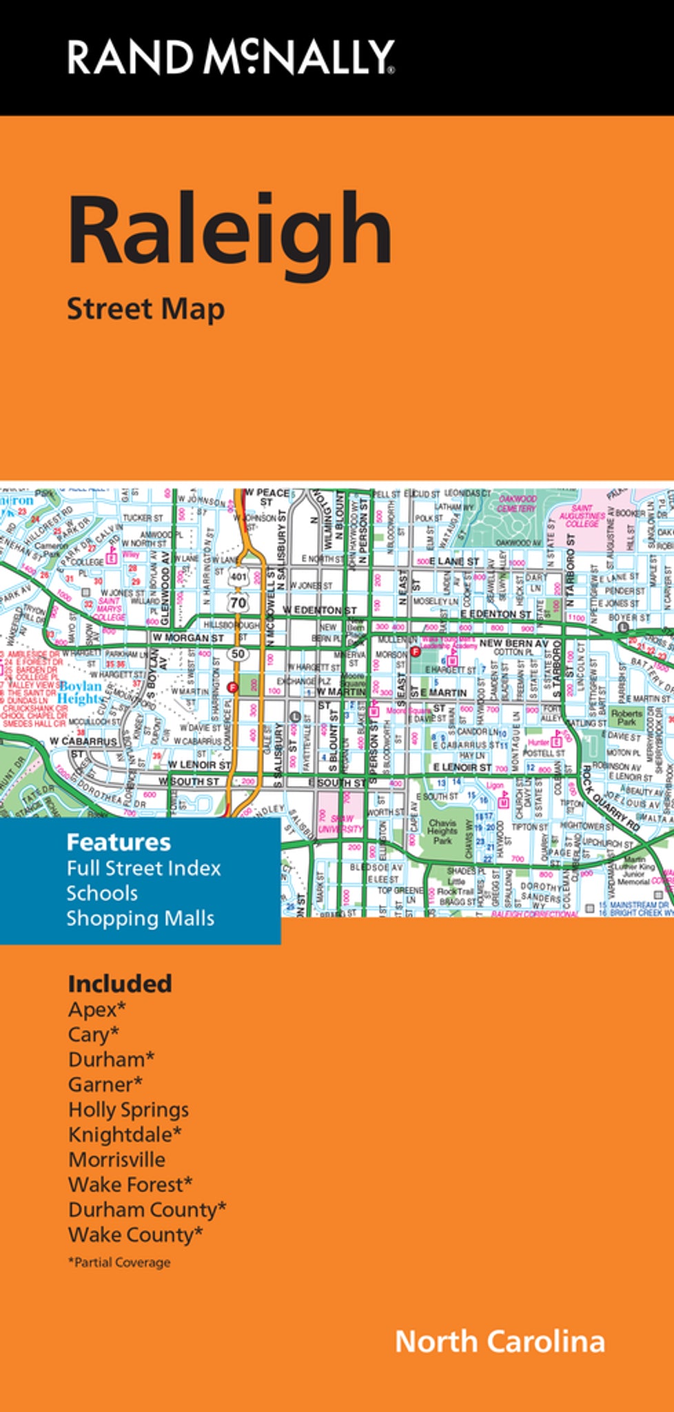
Rand McNally Straßenkarte / Stadtplan
Serie: Folded Map
North Carolina / USA / Nordamerika The Triangle
- Regularly updated
- Full-color maps
- Clearly labeled Interstate, U.S., state, and county highways
- Indications of parks, points of interest, airports, county boundaries, downtown & vicinity maps
- Major attractions & Golf Courses
- Easy-to-use legend
- Detailed index & Major Street Index
- Convenient folded size
- Copyright 2022
Coverage Area
Communities Included: Apex*, Cary*, Durham*, Garner*, Holly Springs, Knightdale*, Morrisville, Wake Forest*, Durham County*, Wake County*
*Partial Coverage
