Beschreibung
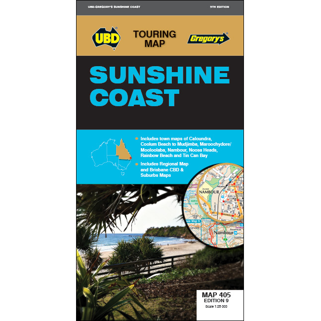
Publisher: UBD Gregory’s
Edition: 9th Edition
Scale: 1:25,000
Straßenkarte / Landkarte
Sprache: englisch
- Sunshine Coast regional mapping at a scale of 1:171,950 and index covering along the coast from Inskip Peninsula in the north, to Caloundra and Toorbul in the south, Wonga Lower in the west and Noosa Heads and Caloundra in the east.
- Street level mapping at a scale of 1:25,000 with coverage for Caloundra and surrounding suburbs, Maroochydore, Mooloolaba and surrounding suburbs, Nambour, Noosa Heads, Noosaville, Sunshine Beach, Peregian Beach to Mudjimba, Rainbow Beach and Tin Can Bay.
- A list of Visitor Information Centres.

