Beschreibung
Hersteller: Maps International
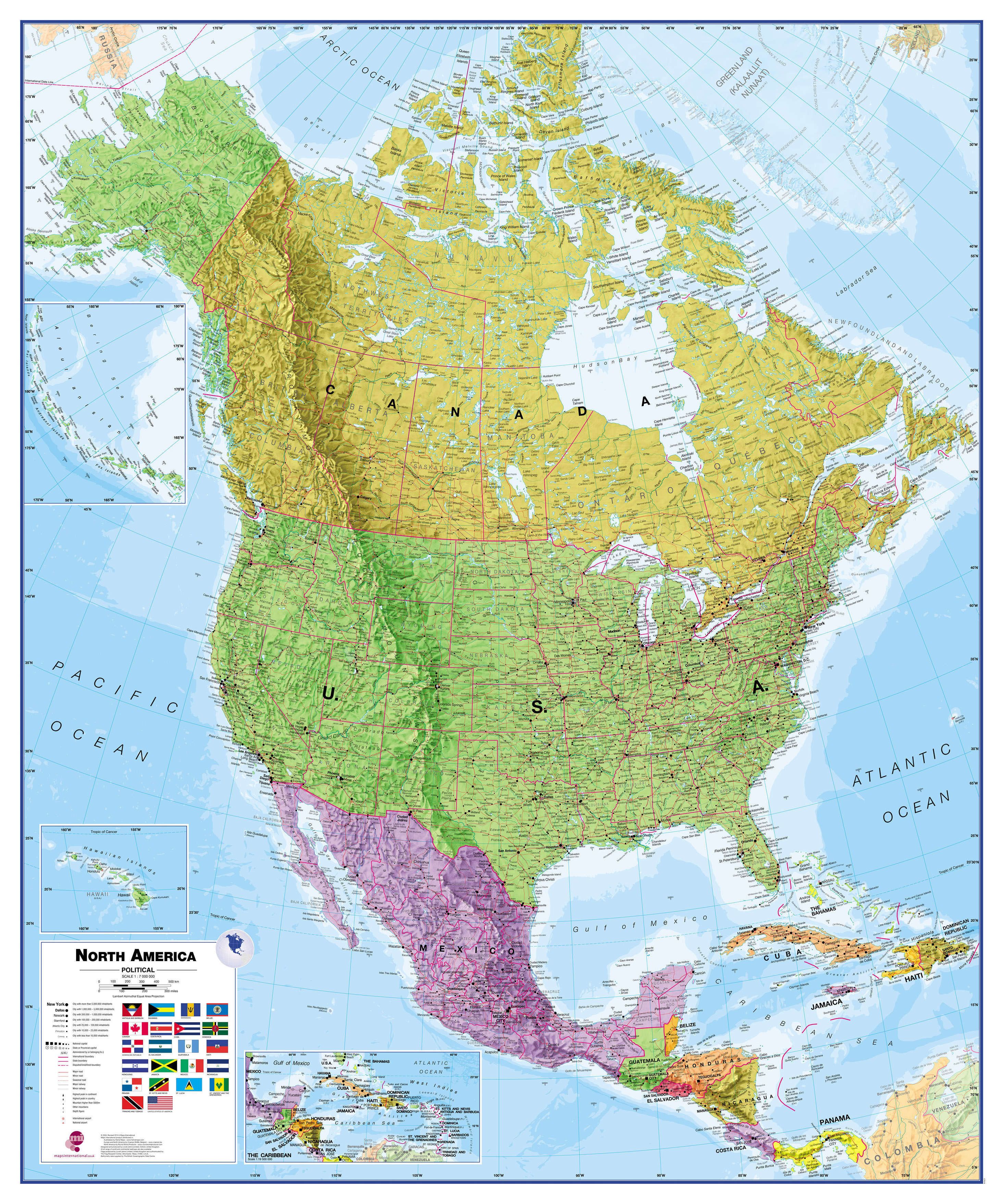
Wallmap North America - Poster
Größe: (B X H): 100 x 120 cm
gerollt, laminiert. reißfest
Sprache: englisch
This political wall map of North America features countries shown in different colours, international boundaries and major transport networks. The wall map also contains a panel of flags relating to the countries shown in this North American continent map. Also shown is city population detail, capital cities and all the major towns and cities in this continent of North America.

