Beschreibung
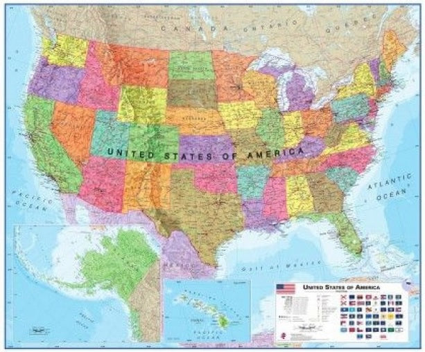
Politische USA Karte
gerollt/ Wandkarte
Format: 120 x 100 cm
Verlag: Maps International
SPrache: English
Maßstab: 1:4,250,000
United States map / political poster
This political map of the United States of America shows you all federal States with their borders. All federal States are highlighted and therefore very good to recognize.
Two maps show Alaska and Hawaii. The flags of the individual federal States are represented in the legend. It includes information on the size of the cities.
Besides, all main cities and other places, waters, mountains, roads, airports, the relief and many other details are drawn!

