Beschreibung
Xploreit Maps
Irland
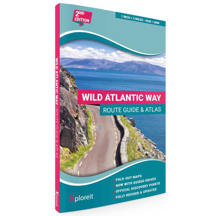
A fully illustrated guide and map atlas to Ireland’s iconic coastal driving route, the Wild Atlantic Way.
Paperback: 105 pages including 33 fold-out
Scale: 1:125.000
published: 2023
Bullet Points:
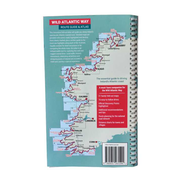
- 31 handy fold-out maps
- 16 easy-to-follow drives
- Official Discovery Points highlighted
- Additional recommendations and tips
- Route planning maps for the national road network
- Distance charts for towns and villages
language: english
Yvonne Gordon provides an insider’s view on how to get the best from Ireland’s epic coastal driving route – the Wild Atlantic Way. In this newly revised and updated edition she divides the route into 16 easy-to-follow scenic drives from Kinsale, in south Cork, all the way to the little village of Muff in the far north of the island. Each drive can be comfortably completed in one day and includes an overview map with photographs to illustrate the text. Information is provided on mileage, directions, official discovery points and numerous additional attractions, including the many towns and villages dotted along the way. The generous fold-out maps can be used to follow the guided route or to design custom itineraries.
Galway, Sligo, Mayo, Kerry, Cork, Donegal, Clare


